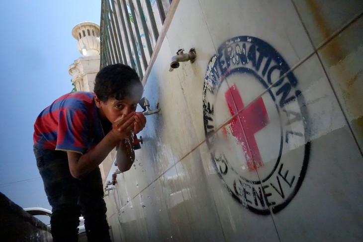
The intensification of fighting in the city of Aleppo, in Syria, this year meant further deterioration of infrastructure and increasingly long water cuts for its population of 2 million — sometimes lasting up to two weeks at a time. Now, residents are locating safe water sources with the help of GPS-enabled map on a web-app updated by the Red Cross.
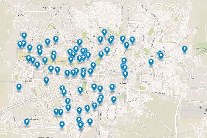
When the ICRC communications team and its water specialists on the ground began looking into the Internet usage in the city of Aleppo, they found a surprising number of people were still able to access Syria’s 3G network with their smartphones – despite the power cuts. The ICRC collaborated with its local partner organizations to create a new GPS-enabled map that gives users the ability to pinpoint themselves in relation to a network of restored water wells throughout the city.
Here is an excerpt from a report by Kareem Shaheen in The Guardian on how this app has helped create awareness about the underused alternative network.
Since most Syrians tend to use Facebook and 3G network access to communicate, the organisation created a web app that shows the GPS coordinates of the boreholes in relation to the mobile phone user, allowing them to quickly find the closest water source during a siege, and published the link on Facebook, relying on word of mouth among the tech-savvy residents still in the city.

A screenshot of the alternative water network in Aleppo – created by the ICRC in partnership with local Syrian partners.
The app was launched in September, and is being updated as new water points are renovated, generators and purifying pumps are installed, and the network is rehabilitated. Initially, the map had only 50 water boreholes – now there are more than 100.
More about the ICRC’s work in Syria:
Humanitarian situation deteriorating as winter approaches
Humanitarian situation worsens each day, pushing people’s resilience to the limits


